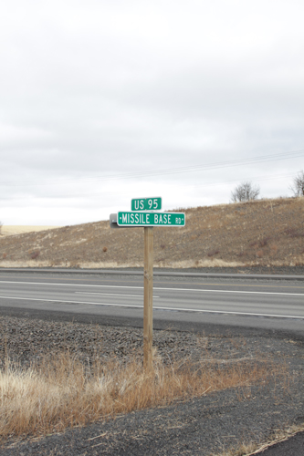
Worley is a small town in Idaho, just south of where I grew up. Now when I say small, I mean to say, according to the census between 2000 and 2010 the population rose from 223 to 257. W Missile Base Road is a road that I never knew about while growing up just 20 minutes north on the freeway. But I had always heard about an old decommissioned missile silo, so I took it upon myself to find it, and visit it on my last day in Idaho over the holiday.
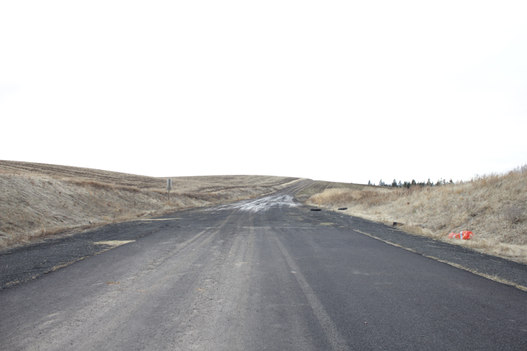
I couldn’t actually find too much information about the missile base, or where it was. There’s a great website called siloworld.net, but they don’t list all of the coordinates for the eight missile bases that Fairchild Air Force Base operated in the 1960s at the height of the cold war. They do have plenty of great historic photos of missile base 3 (that’s the one in Worley, or Rockford as it’s listed…), which was operated by the 567th Strategic Missile Squadron, but they don’t tell you where to find it. As the saying goes, it’s always in the last place that you look, so I went to Google maps and searched for missile silos in Worley, ID, and that’s how I found out about W Missile Base Rd.
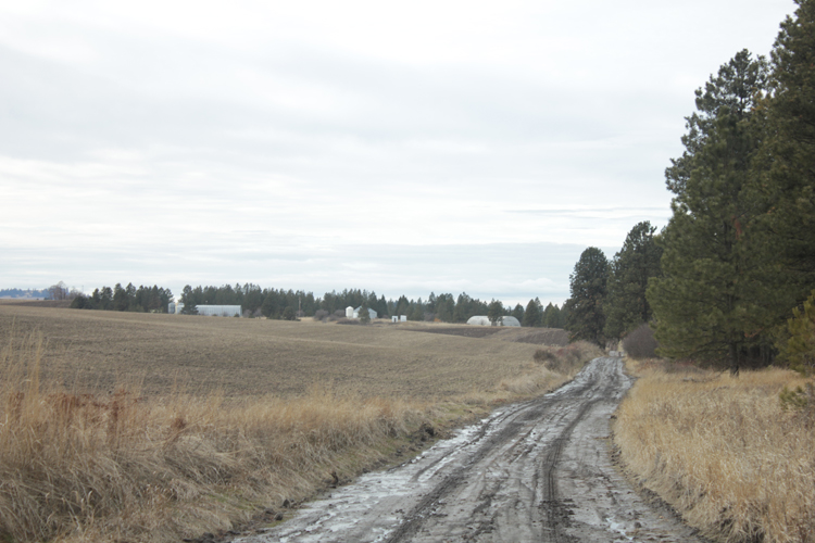
There wasn’t too much pavement, and fortunately for me the temperatures hadn’t dropped below freezing for a few days. This meant there was between 2″ and 4″ of mud on top of the frozen ground depending on if I was at the bottom of a hill or at the top. There was a point where I almost parked the truck and hiked the rest of the way… but instead I pulled out the manual and figured out how to drop the truck in to 4-low. Things got a bit squirrelly for a while, but I made it. And looking back from where I came, this is what I saw:
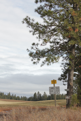
And this was the aftermath:
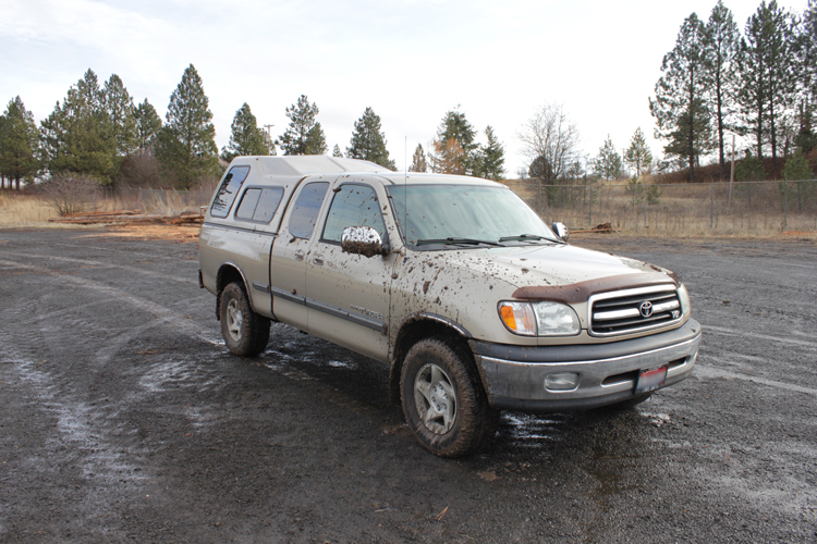
There were piles of logs and farming equipment parked around two sides of the missile base, which was decommissioned in 1965. Paying attention to all posted signs, and not observing any orange placards or “no trespassing” signs (the orange ones are synonymous..), I decided to walk the perimeter of the old base.

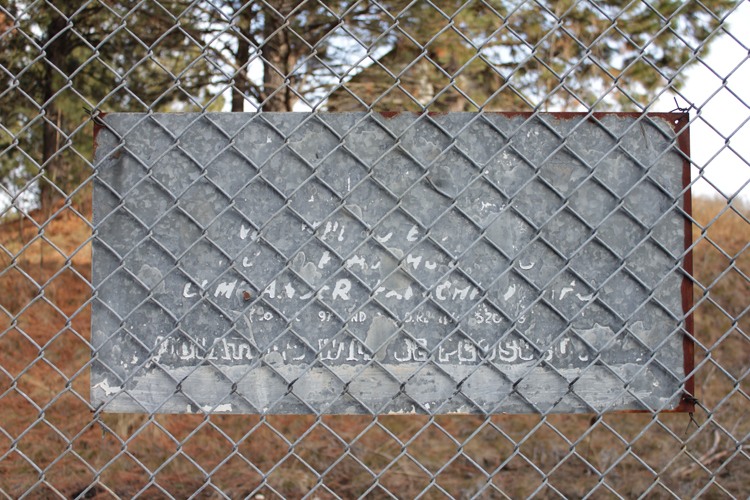
The first thing I noticed was an old sign, nearly blocked from view by the trees growing in front of it.
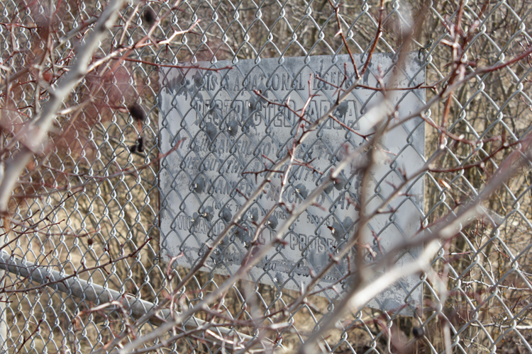
It reads: “This is National Defense RESTRICTED AREA. It is unlawful to enter this area without the authority of the Commander, Fairchild AFB. [] Violators will be prosecuted [illegible]”
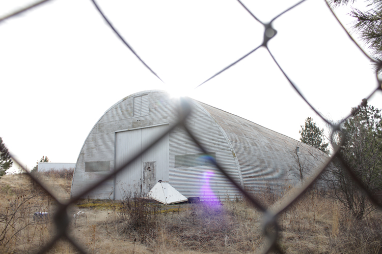
This first barn was the one remaining, original building that was left on the site over the years. I was particularly interested in the vent hood laying next to it. The barn in the next picture is actually sitting on top of the old missile bay. Unlike a missile silo the Atlas E missile bases were constructed so a truck could back into a missile bay and leave the missile lying horizontally. Upon activation the missile would be raised vertical, fueled, and then launched. Notice all the old pipes and tubes by this next barn. Those are a few of the things that the air force left behind.
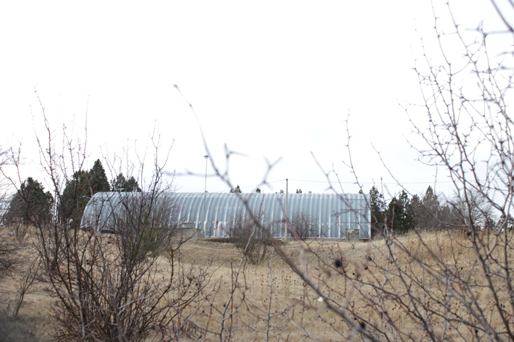
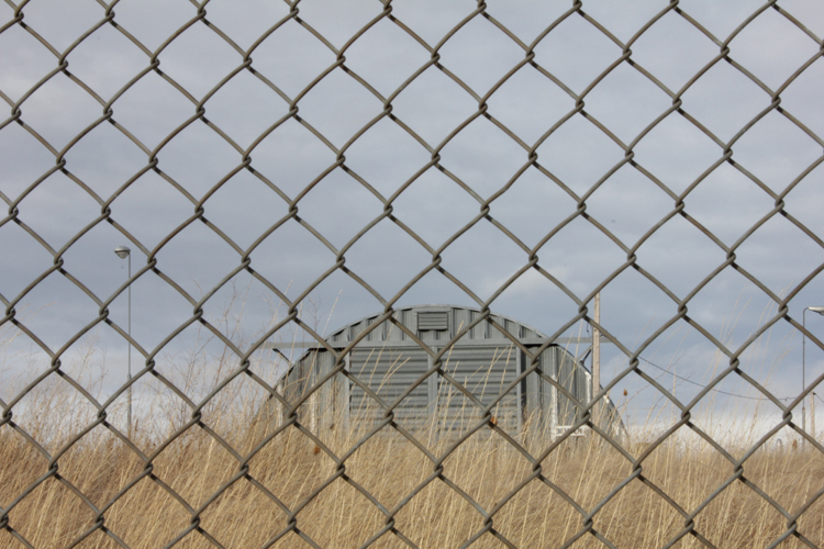
In this next photo, on the bottom right, you can barely see part of the vent for the missile exhaust (check the google maps link below for a good aerial view):
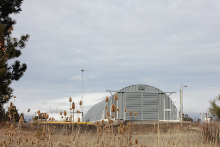
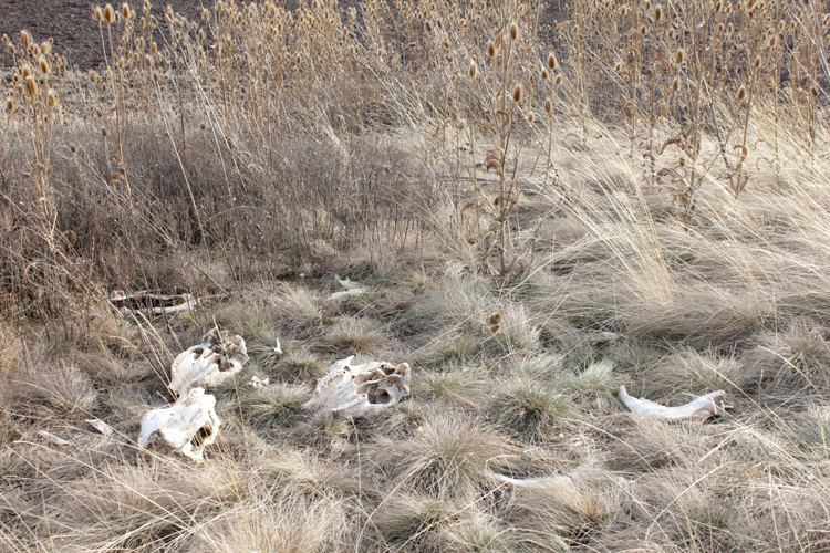
The next few photos are of the old Microwave Relay Site, which was used for communicating with whomever it was that would give the command to blow up the world.
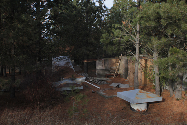
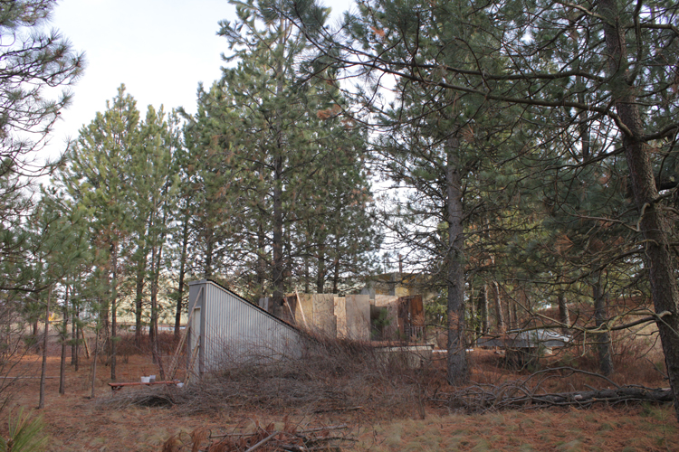
At this point in time, someone pulled into the old missile base to unload a few things. I debated for a minute of approaching them through the gate to chat, but decided against it, considering that I was creeping around in the woods next to the relay site (outside the fence). Scaring the shit out of them would probably not have made a good first impression. Instead, I snapped a few more photos, and headed to town to wash my dad’s truck.
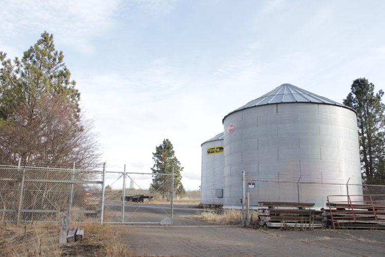
There’s definitely something poetic about grain silos on an abandoned missile base. Someday, perhaps, our generation will have something to look forward to.
The following are links to photos of the base hosted by siloworld.net:
-aerial view of the site under construction: http://www.siloworld.net/CONST/Atlas/ATE/567th/site__3.htm
-photos of the arrival ceremony for the missile, the base in operation, and the decommission: http://www.siloworld.net/CONST/Atlas/ATE/567th/Museum/museum.htm
-and photos of the base as is, taken in 2007: http://www.siloworld.net/567thSMS/ROCKFORD/rockford.htm
And here’s a link to W Missile Base Rd on Google maps: http://g.co/maps/zuk3t
